
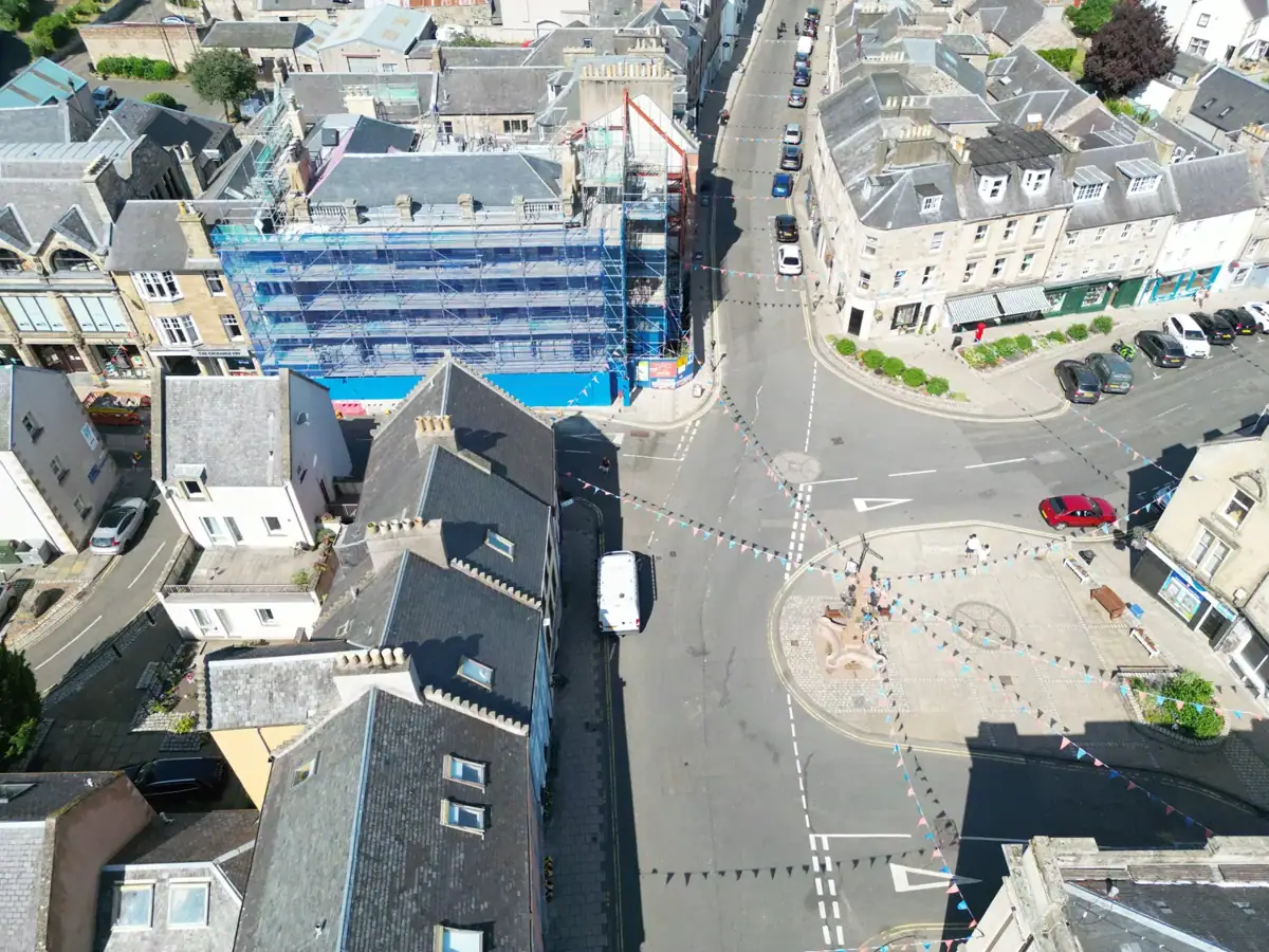
Jedburgh · Original drone photographs
Jedburgh from above
Aerial photographs of town-centre streets and rooftops.
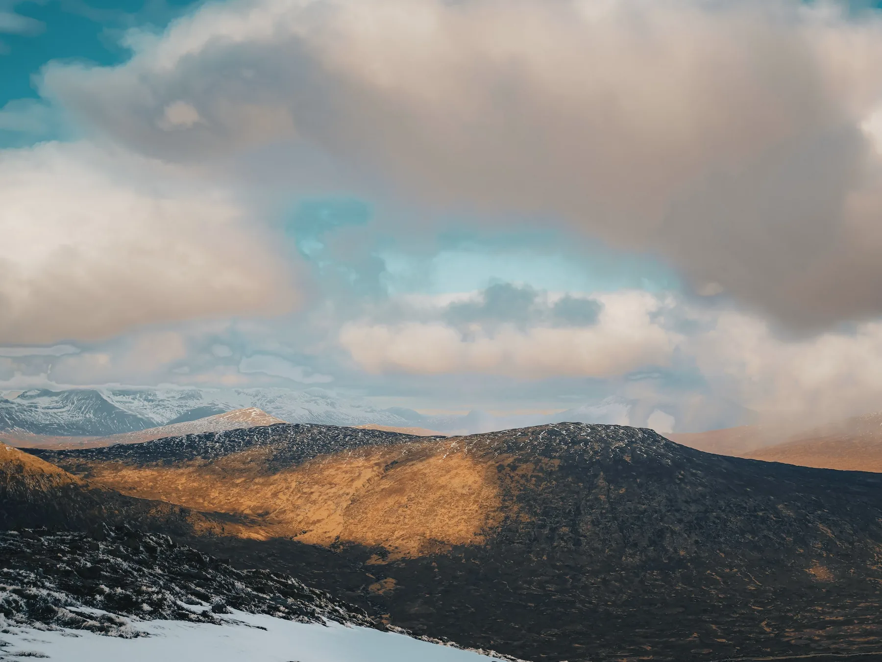
Aerial photography, video and site capture, subject to flight conditions.
Discuss a drone siteAerial photographs of town-centre streets and rooftops.
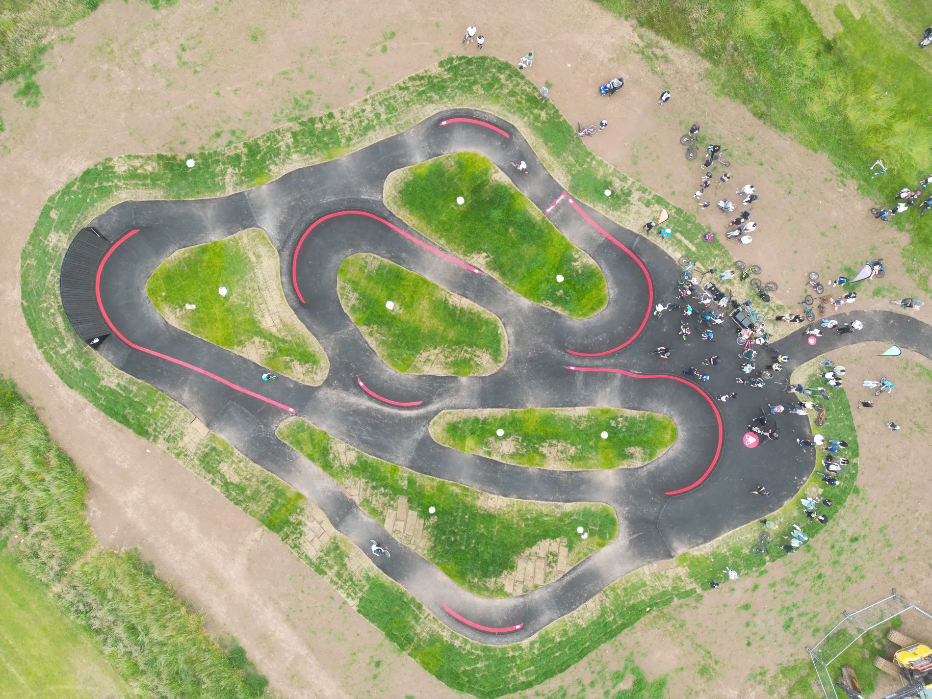
The shape of the track from above and riders in action.
Have a site, building or location in mind?
Discuss a siteAerial stills and films can show property, land and progress on site. Visual inspections and photogrammetry need a different capture plan, agreed against the required output.
Share the exact site, purpose of the flight, required files, preferred date and access arrangements. Airspace, permissions and weather must be checked.
For property, development and site teams
Tell us whether you need property marketing images, progress records, a visual inspection or data for a mapping workflow. We can work out the safest capture method and required deliverables before giving a quote.
Discuss your siteNo. Flights depend on weather, airspace, site permissions, access and a safe legal operating plan. Those checks are part of scoping the job.
Yes. Aerial, ground photography and video can be combined where that creates a more useful set of outputs.
Yes. Firebug can scope photogrammetry, 3D capture and visual survey work alongside more traditional aerial photo and video.
Property photographs and progress images are visual records. An inspection brief may call for closer photographs of roofs or structures, subject to safety and permissions. Measured mapping and survey-grade outputs need separately agreed accuracy, ground control, processing and specialist verification; ordinary drone photographs are not a substitute for a certified survey.
Send the site location, what must be visible, the intended use, any access restrictions, preferred date and whether you need still images, video or mapped data. We assess feasibility before confirming a flight.
Potentially. Each location requires its own assessment of airspace, aircraft operating restrictions, land access, permissions and safe separation from people and structures. A city-centre flight is never assumed to be available.