
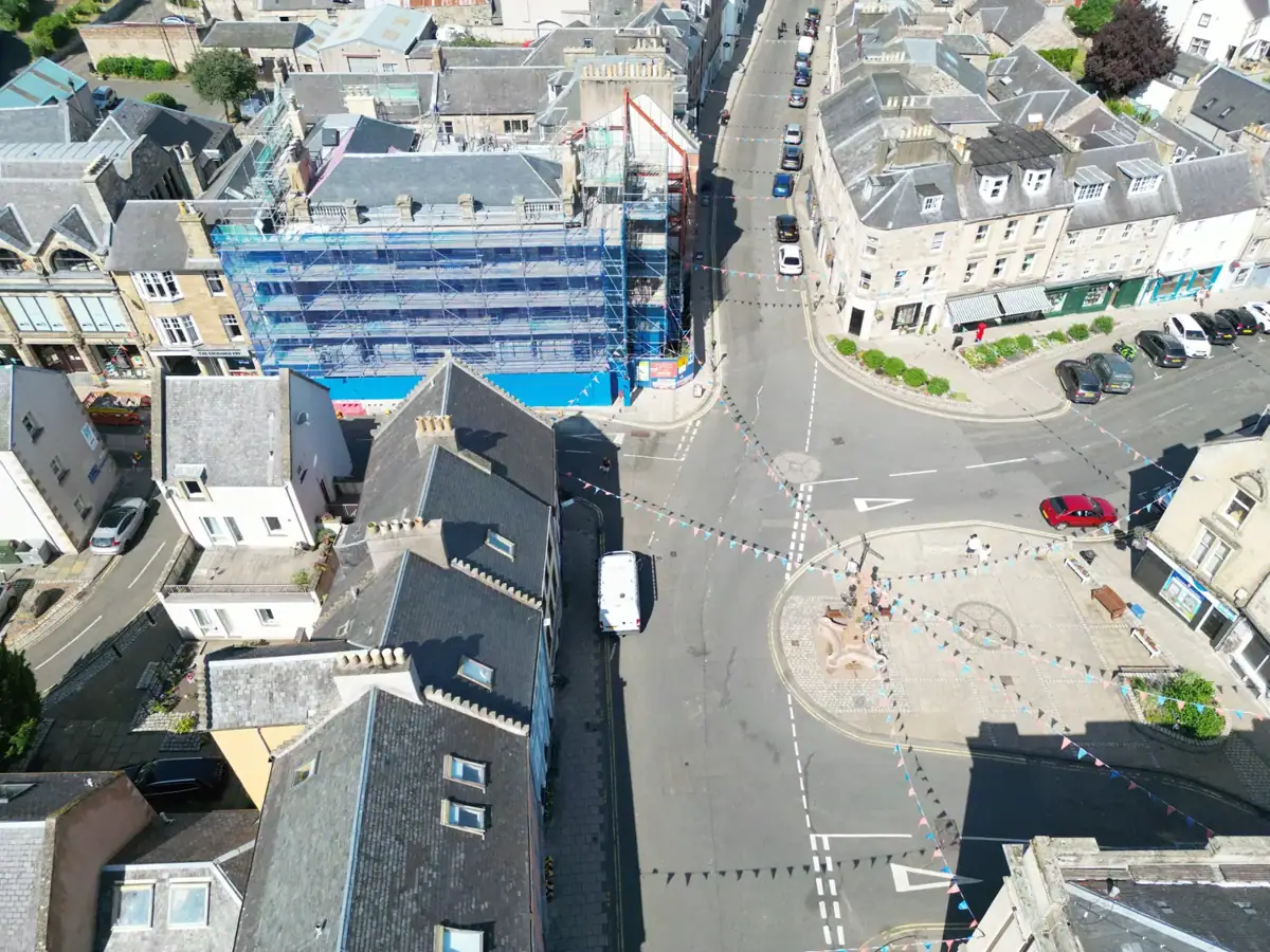
Drone photography · Scottish Borders
Jedburgh from above
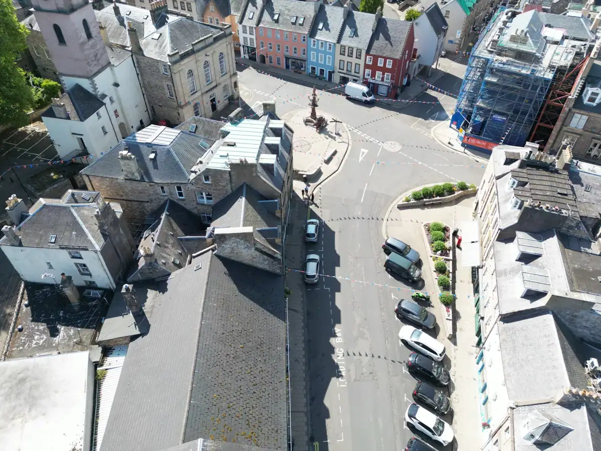
Drone photographs taken over Jedburgh, with views of the town centre, its buildings and surrounding streets.
What the images show
The photographs capture the relationships between buildings, streets and public spaces from above. They are useful examples of the location context that aerial photography can provide.
Different from a measured survey
This gallery shows aerial photography. A roof inspection, orthomosaic or photogrammetry survey requires a separate brief, capture plan and agreed output; no surveying accuracy is claimed for these images.
From the project
Your project
Planning similar work?
Planning something similar? Send the site location, what needs to be shown and how the imagery will be used. Flights depend on airspace, permissions, site conditions and weather.